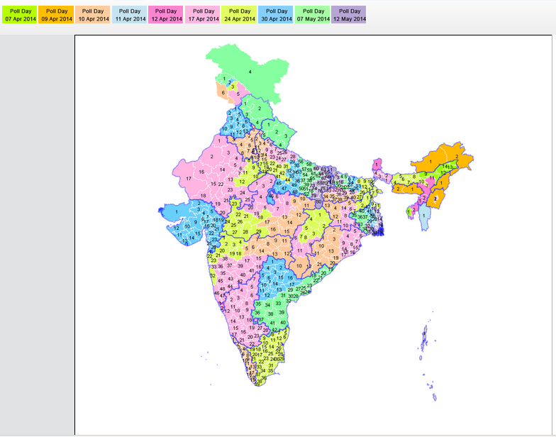
Voting was never as easy as it has been during Indian General Elections 2014. Technology has been introduced at every stage to enable voters to exercise their voting right with ease. Telephone (mainly SMS) and internet based solutions are being widely used this time. Internet giants like Google have also contributed in their own way. Eg. Google India’s Know your Candidate initiative.
Update 07 April 2014
@TheOfficialSBI sent me this update through twitter today. Therefore it can be concluded that @SBIConnex was some fake twitter handle managed by someone!
Original Post
Everyone here might agree if I say Indian PSU brands do not know how to leverage the power of social media. The latest entrant in the block is SBI, India’s largest bank. SBI had joined twitter way back in March 2010 (as @SBIConnex) and now they have rejoined under a new name (@TheOfficialSBI).
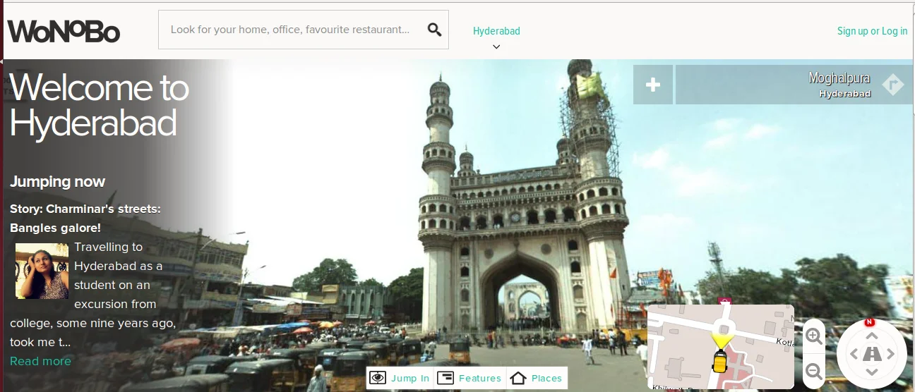
Last week the big news for tech and location enthusiasts of India was the launch of WoNoBo. WoNoBo was quoted as an answer to Google’s Street View in India. While many of us know that our regulators created all sorts of trouble for Google, WoNoBo did not have to go through all that. In fact WoNoBo’s parent Genesys is a big name in Indian Geospatial domain and has the experience of working with Government agencies. This credibility would have certainly helped them in securing necessary permissions!
“For street view, the government, including the defence ministry and the
Survey of India, threw a lot of regulations at us. We painstakingly
fulfilled their requirements , including not taking pictures in
sensitive areas,”
The #HxGNLIVE keynote which concluded an hour ago marked the beginning of HxGN LIVE in a unique way. Unlike normal keynotes where CEO talks about some achievements and makes exciting announcements, this keynote proceeded on a different note. Hexagon President and CEO, Ola Rollen and other divisional Presidents took turns to talk. At times the divisional Presidents even spoke to each other on stage about leveraging each other’s technologies for providing better options to customers. A customer in Australia was interviewed live from the stage!
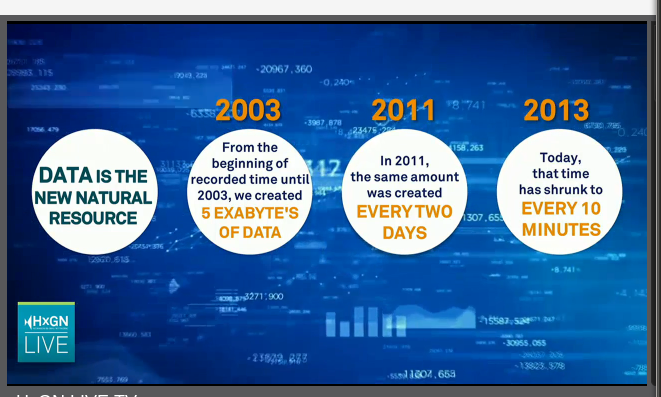
For the first time several keynotes and few sessions are being streamed live for the benefit of those who could not attend the conference in person. This is made possible through HxGN LIVE TV.
When you install PostGIS from the OpenGeo Suite [link] on Ubuntu, you might notice that PostGIS Shapefile and DBF loader is missing from pgAdmin III plugins. This post explains the steps to get the plugin to work: