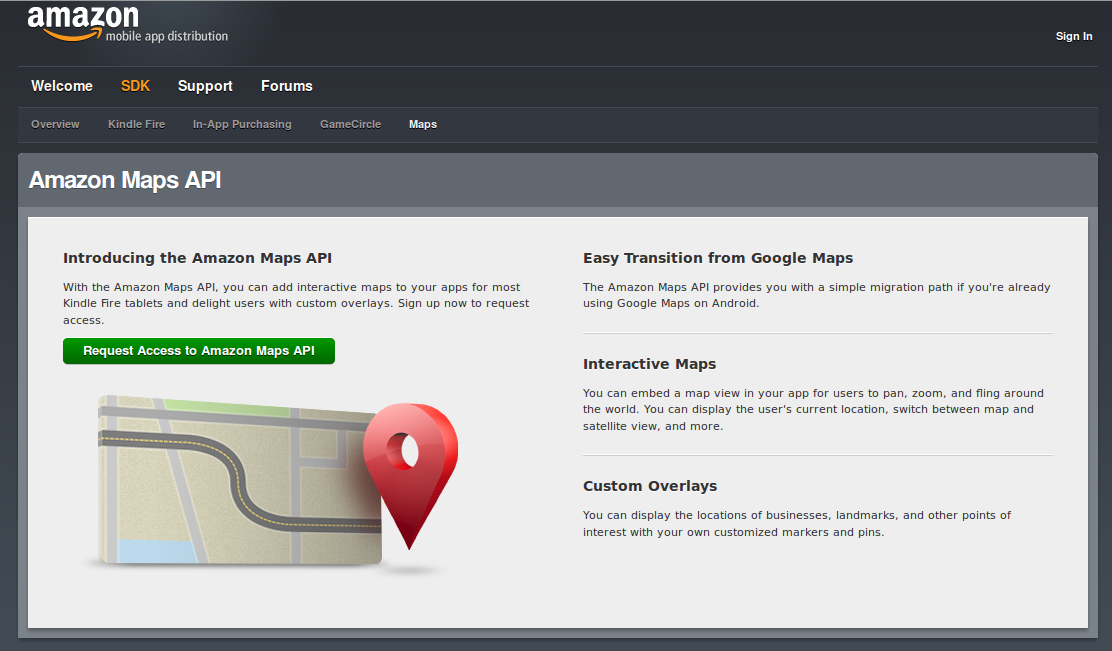
Following the footsteps of Apple in building own mapping services, Amazon today announced beta version of its own mapping API for the developer community. This move is in line with Amazon’s strategy of distancing itself from Google. It must be noted that though Amazon’s Kindle Fire devices run heavily customized version of Android, it never contained Google Maps. Also Amazon runs a parallel app store in place of Google Play store for its users.
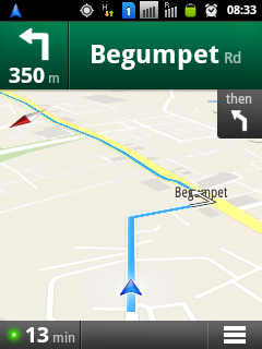
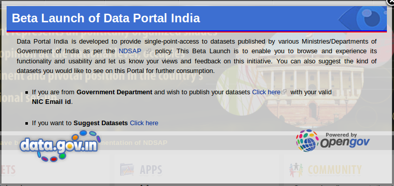
This week has been fairly exciting for geo enthusiasts in India. Earlier we saw India’s data portal go live as public beta. Though the data portal does not include any spatial data at present people are certainly hopeful about seeing them soon. Worldwide this month has been exciting due to numerous smart device launches lined up almost every week (Nokia, Amazon, Apple). With maps and GPS being an integrated part of most smart devices and growing smartphone adoption in India, just yesterday Google announced the launch of its voice-guided turn-by-turn navigation and live traffic (for select cities at present) in India.
Open Government Platform (OGPL), an ambitious project of India and United States was launched in March this year.
About OGPL
OGPL is a joint product from India and United States to promote
transparency and greater citizen engagement by making more government
data, documents, tools and processes publicly available. OGPL will be
available, as an open source platform. By making this available in
useful machine-readable formats it allows developers, analysts, media
& academia to develop new applications and insights that will help
give citizens more information for better decisions.
Welcome Message
Since launch the site was in closed beta, open to a select set of people. Today public beta of the site went live.
Commuters of three Indian cities, Delhi, Mumbai and Bangalore have a reason to rejoice. With a system called Traffline which is slowly becoming mainstream one can know the traffic congestion status in these cities. The site floated by Bird Eye Systems promises up-to-date information about traffic situation in city roads. This becomes possible as the information is sought live from GPS devices fitted on to public transport vehicles. The company will be launching Android and iPhone apps by October.
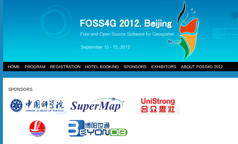
Earlier last week I was discussing about absence of prominent sponsors for 2012 FOSS4G event with Geoblogger, James Fee on twitter. By big sponsors I meant giants like Esri, Google, Safe Software and others. And today comes the bad
2012 FOSS4G Sponsors
news of Local Organizing Committee (LOC) expressing their helplessness in continuing the event arrangements [Read FOSS4G 2012 Cancel Request]. The main reasons given are lack of financial resources and the unexpected withdrawal of the Professional Conference Organizer.